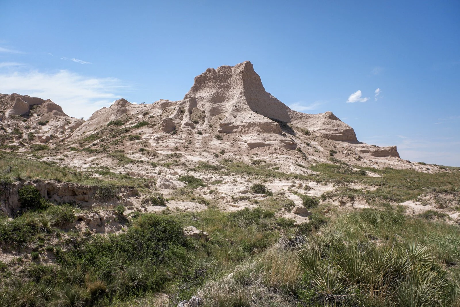
Pawnee Buttes
/Grover, Colorado 40.808131, -103.989418
Once a Cretaceous ocean, the remote South Platte River basin of Weld County, Colorado, is home to Pawnee National Grassland.
Towering above the high plains, Pawnee Buttes host nesting birds of prey. Decedents now circle and soar over dry washes where fossil hunters have flocked since 1870.
More than just a wide spot in the road, a traveler needs to experience the grasslands by parking and exploring some of the hiking trails the state park offers those with an adventurous streak. The trails are not difficult to navigate, they are flat but extremely exposed to the harsh Colorado weather.
Bring a hat, bring extra water and pay attention to those pets!
The Buttes are surrounded by a patchwork of private land, respect the boundaries and use this handy MVUM (Motor Vehicle Use Map) to help guide your journey. Camp for free. Dispersed campsites and free camping is also allowed on the Pawnee National Grassland, year-round.
Arapaho & Roosevelt National Forests Pawnee National Grassland MVUM
Many trails are closed during nesting season so check with the National Forest Service before visiting.
The Pawnee National Grassland lies 35 miles east of Fort Collins, CO and 25 miles northeast of Greeley, CO in Weld County. Contained within the 30-by-60 mile area are 193,060 acres managed by the Pawnee National Grassland. The rest of the land is a checkerboard of private land, State of Colorado ownership and the Central Plains Experimental Range.
The Pawnee National Grassland in Weld County is an internationally-known birding area. There are also numerous other wildlife species that call the prairie home that you have a chance to spot while exploring!
Pawnee National Grassland, NE of Greeley
Dispersed camping is also allowed on the Pawnee National Grassland, year-round. This provides an alternative to campground camping for those who want to experience the grassland the way people did in the past. No fee required. A Motor Vehicle Use Map will help you determine if you are on private or public land.
Pawnee Pioneer Trails Scenic and Historic Byway
The Pawnee Pioneer Trails Scenic and Historic Byway leads to the Pawnee Buttes and beyond. Traveling across the Byway, one may imagine how this short grass prairie was viewed by Native Americans, frontiersmen, early cattlemen, 19th and early 20th century homesteaders, and those who faced the Dust Bowl and Great Depression of the 1930s. The Byway offers historic attractions and recreation areas along the roadways. Visitors can experience solitude and explore nature through bird watching, wildlife study, photography and hiking. Driving along the Byway, visitors encounter pleasant agricultural communities while traveling through 100 million years of geologic deposition artfully exposed and rearranged by wind and water.
Related Products: Backcountry Reading
DeLorme Atlas & Gazetteer: Colorado (Colorado Atlas and Gazetteer)
Wild Edible Plants of Colorado's Plains and Urban Areas
The Lost Art of Reading Nature’s Signs: Use Outdoor Clues to Find Your Way


